
Hi, this is Wayne again with a topic “Create a Map Chart in Excel”.
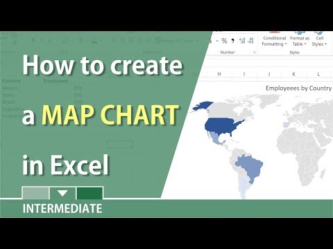
In this article, i will show you how to create a map chart in microsoft excel. Here we have some data about each state in the united states and it just lists the population of each state, the percentage of the total u.s population and the gdp for each state. I would love to show some of this information in the form of a map. If you ever want to do a similar thing in your spreadsheets, what you need is a map chart. The first thing i need to do to create a map chart is to select my data.
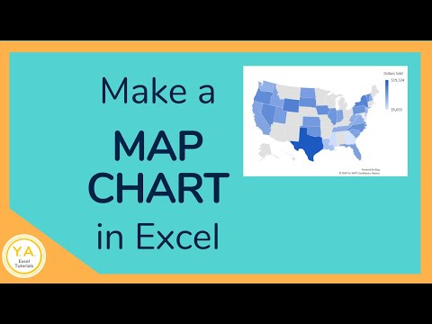
What information is it that i want to plot onto the map? Yes, i’ll need the geographical information here in column a, but the information that i would like to be charted in that map is the population in this case, so i’ve selected columns a and b and i’ll go to insert maps and i’ll click filled map and my Map chart appears now the first time that you do this on a particular computer you’ll get a message from excel asking for permission to share data with microsoft, bing and that’s required. If you want to use this map chart type. Now that i have my map chart, i can click and drag to place it where i want it to be. I can also resize it and notice that each state has been automatically color coded based on the amount of population that that state has so the higher the population, the darker the color of the state, and you can verify that here in the upper right.
I have a legend that shows that the lighter the color, the smaller the population, so it ranges from half a million to 39 and a half million one of the nice things about this map chart is that it’s dynamic. In other words, if i change the data, let’s say the population of alaska, just skyrockets, i can tap enter and notice that the color coding changed to match that i’ll undo. That another way in which it’s dynamic is what, if i change my mind about population, maybe i don’t want to focus on the actual population, but rather on the percentage of the total population. All i have to do is with the chart selected go over here to the population data and i’ll put my mouse just on the very edge of that column and then i’ll click and drag to move over to the next column.
So now percentage of total u.s population is selected and it adjusted the map slightly very hard to notice the difference. What about gdp if i do the same thing and click and drag to the next column, look at the map and see how it changes. When i release the button, so i just love that aspect of map charts in excel.

You can change your mind basically about what you’re showing on the map. Let’S look at some of the options you have for changing how your map looks. If i double click here on the map chart, i get the format chart area panel that opens at the right here.
I can change the fill right now, it’s automatic and when it talks about fill it’s talking about the background color behind the map itself. So if i want to go to a solid fill and maybe change the color to black, that would look kind of cool or i could try another color yikes, whatever i think looks good or you can try some of these other options. In my case, i’ll just leave it automatic same with border.
I can have the border of my chart be set automatically or i could have it be a solid line. Let’S say in blue and i’ll set the width to be two and a half points. So now, when i click away from the map chart, you can see what it’s done.
There’S now a bold border around the perimeter of the map clicking back on the map chart you can see. I also have some effects options, including shadows, soft edges and some other options as well. Now, if i double click on the actual map itself, not just the chart but the actual geographical map, if i double click on that notice – that i get another different option here in the panel – and these are the series options, so i can just move down here. Click this arrow and i can change the map projection.
If i want to this is an advanced feature, and in this case i’m not going to change that, but next we have the map area. What part of the globe do i want to show? Usually automatic is perfect, but if you want you can show the whole world or multiple countries and regions or the specific country and region that you’re talking about. Also you can change the map labels right now. There are no map labels.
When people look at the map, they just have to know what each state is, but you can change that to show all so now all of the states have a label, at least, if it’s at all possible to show the label. Some of them are too small to be able to show up, as is if i double click again on my map, i get the series options back. Let’S look at the other option for map labels instead of show all i’ll just go with best fit only so now it’s only showing the states where the name fits well. So you can make that decision for your maps. We also have series color. You can see the lowest value will be light blue and it’s a sequential two color system.
If you want you can go with diverging three color, but that may or may not be harder for people to understand. I’M going to stick with two color. Sometimes you can get even more options by exiting out of the panel and going here to this plus sign that comes with the chart. If you don’t see the plus sign, just click off the chart, click back on it.
You should see that plus sign. So if i click that notice that i can choose to erase the chart title, if i want to or leave it, i can also choose to have data labels or not, and if i click this arrow here, it gives me even more data label options. Do i want the series name? No, in this case it’s just population. I don’t want that.
What about the category name? So that’s the state if it can fit it, and what about the value i may or may not want that. I could separate it by commas. Semicolons periods there’s just several different options that we have, so you can definitely play around with those options as well similar to that plus sign. We also have a chart styles paintbrush button.
If i click on that, it gives me some automatic chart, styles that i can switch to. So this is a nice way, sometimes to get a glimpse at other possible. Looks that you could pick for your map chart? The final thing i should do to complete my map chart is to triple click on the chart title and then i can change the text. That’S in there and i’ll call this state populations.
At this point i can simply save, and the map will be part of my spreadsheet from now on, thanks for watching. I hope you found this tutorial to be helpful. If you did please like follow and subscribe, and when you do click the bell so you’ll be notified. When i post another video, if you want to support my channel, consider clicking the thanks button below the video or you could support me through my patreon account or by buying channel merch and you’ll, see information about those options in the description below the video. Speaking of patreon, i want to give a quick shout out to my five dollar patreon supporters. Thank you.
So much for all you do to support my channel and to make it possible for me to continue making these videos .